September 2016
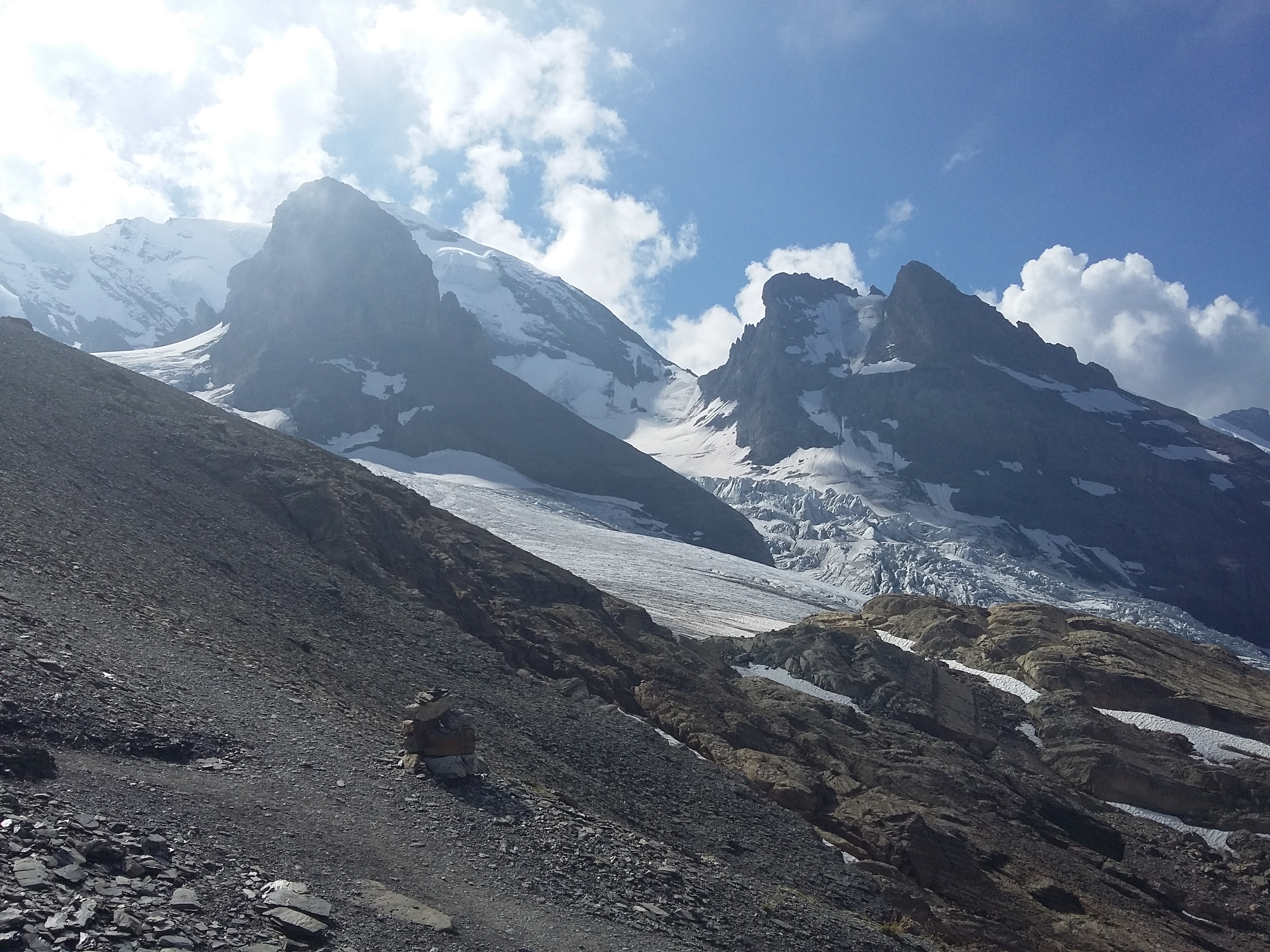
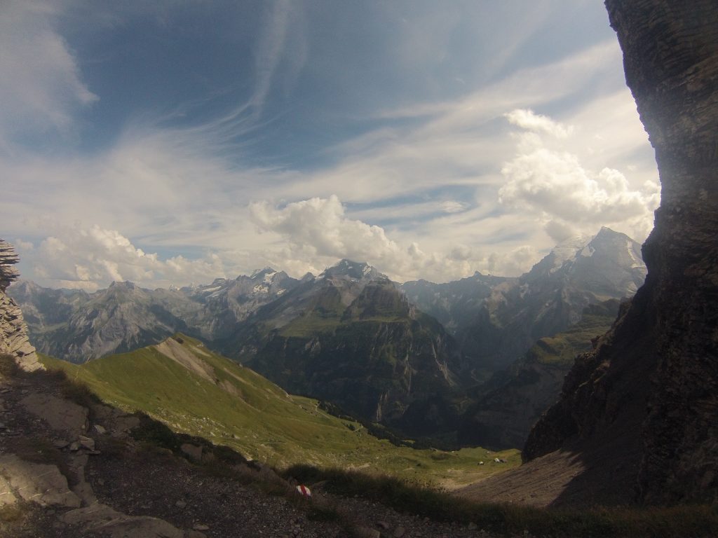
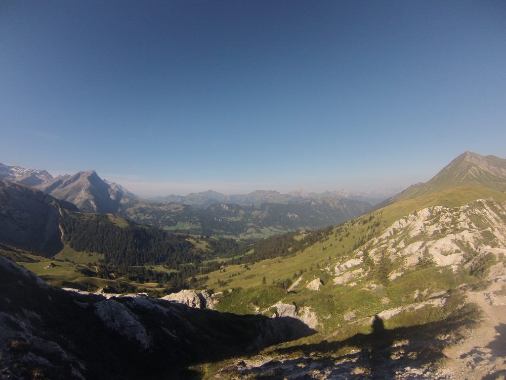
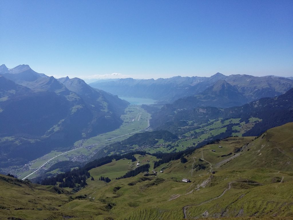
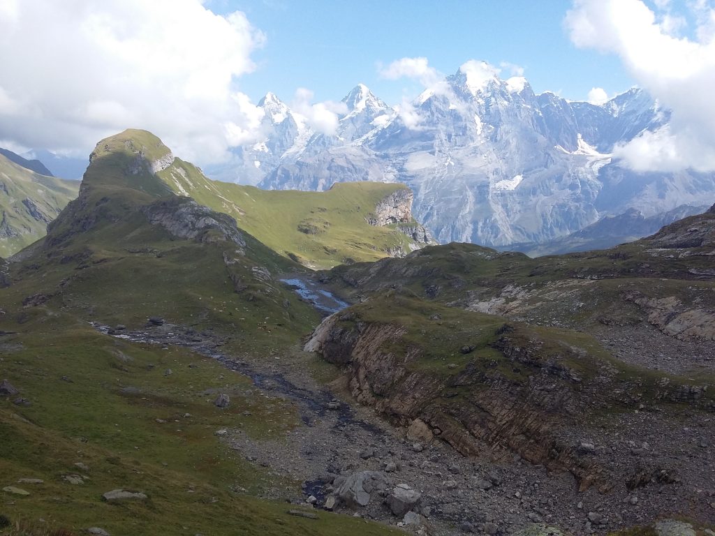
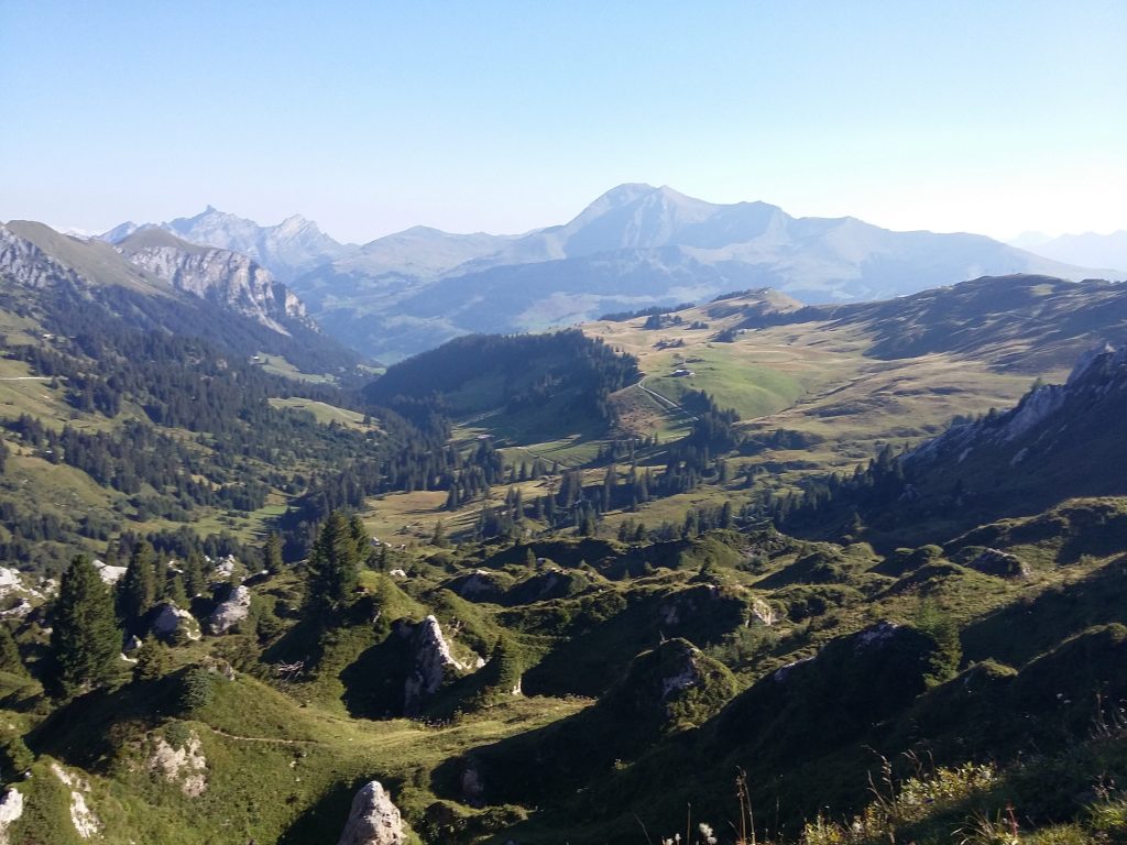
I have just got back from walking the Alpine Pass Route across the Swiss Alps. I tend to get quite hyperbolic when I enjoy something, but I can genuinely say it was one of the best trips I’ve ever done. Emerging out of a forest to see Lac Léman on the last day was surprisingly emotional; I had walked across a country.
Well, nearly. I did take the odd cable car, and skipped one stage due to bad weather and lack of time. I was fitting in as much as I could in the time available. If I were to do it again I would allow more time for rest days, and probably split some of the longer days into two.
A day by day trip report will come later, this is more for some thoughts and suggestions if you’re thinking about doing the route yourself. To see more of what it’s like, watch my little video here.
- I met 4 groups walking the APR, and we all had the same guidebook by Cicerone. Admittedly, most of the directions in the book could be boiled down to “follow the signs”, as there is very good waymarking and signage on the route, but the book was very useful for planning each day and double-checking destinations. I had it my pocket most days.
- I didn’t take maps in the end. It felt wrong, going on a hike without a map, but they really weren’t necessary. At the scale necessary to be useful, they would have taken up half of my backpack. I only went the wrong way once, and that was due to me walking too fast and having my head in the clouds. You won’t see any “Alpine Pass Route” signs, but the red and white stripes of mountain routes are splattered across rocks and trees, major junctions have yellow signposts with the time indication, and for the most part the route follows the Via Alpina 1 signs.
- If you start to feel like you’ve gone the wrong way, you probably have. The path is almost always well trodden and graded, and you should see the red and white waymarks fairly regularly. If you find yourself battling through dense vegetation on a steep rocky slope, you probably missed a turning and are the wrong side of the valley (I may have done this on day 2…).
- To say that by the end of the walk the sound of cowbells drove fear in my heart may be a slight exaggeration, but I did have some nerve-racking encounters with cows near the end. For most of the walk, I could walk right through the middle of a herd and they might look at me for a few seconds but then went back to munching grass. During the last couple of days however, they got more angsty. Maybe the french speaking cows are more protective, or their calves were younger? Either way, my heart would start to race as I realised the trail went through a field full of cows. In four fields, several of the cows would stop as soon as they saw me, and start moving rather aggressively towards me, increasing in speed. If the field had a slope or curve, then I could outwit them by dropping down out of sight and traversing round. But sometimes there was no hiding, I just moved quickly through, tried to look non-threatening, veered away from the other cows, and sang a song to comfort myself (I believe the lyrics went something like “I’m walking, just walking, please don’t kill me”). Sometimes the farmer would put a warning sign, sometimes not.
- Sometimes the path will be blocked by an electric fence. Usually, there will be a big plastic handle which you unclip and reclip once you’re through. If not, there is generally a reassuring waymark just the other side to encourage you to step over the tape. Or there might be a wooden fence which has one loose post – unhook the barbed wire to get through. I actually crawled under one of these on the last day as it was under so much tension I didn’t think I’d be able to put it back together!
- I took 2 x 750ml water bottles. Most of the days were in the high 20s and sunny, and I usually refilled the bottles at least once. There’s a lot of climbing elevation, and you will sweat. A lot. When it comes to filling up bottles, use your judgement. If a trough is outside a house/farm/town centre and has a tap then I used it. If it was a hosepipe into a trough in the middle of a field full of cows, I didn’t. For the in-between ones, it depended on how much I needed the water – I didn’t get ill. Note, the Blumlisalphutte on the Hohturli does not have drinking water – if you want to fill up bottles here you’ll have to buy some. They do have very good cake though.
- Try and learn some Swiss German. In about a third of the places I stayed at, they didn’t speak any/very little english or french. Luckily everyone was friendly and we got by fine on big hand-gestures and smiles, but I did feel a bit bad coming to their country and not being able to say more than hello, please and thank you. Only on the last 2 days do people start speaking french.
- Try and work out how much public transportation you’re going to take. If it’s more than a few gondolas and trains, get the half fare card. I didn’t get it, but it may work out cheaper for you. Switzerland is an expensive place!
- Not everywhere will take debit or credit cards. I kept around 100 swiss francs on me, and there were cash points in every town.
- Some of the more remote huts and lodges will have a set dinner time (often 6.30pm) – make sure you arrive in time! This generally only applies if you’re in the middle of nowhere and there aren’t other food options. But if you know you’re going to be late, they may well do a cold dinner for you later.
- Take something with a decent camera, and have spare batteries/portable chargers. The mountains are stunning, and you’ll want to be able to capture the memories. Not every hut has electricity sockets to charge over night.
- If you get good weather, add time on to the guidebook’s suggestions, as you’ll be stopping lots to take photos and admire the views!
One thought on “Thoughts on the Alpine Pass Route”